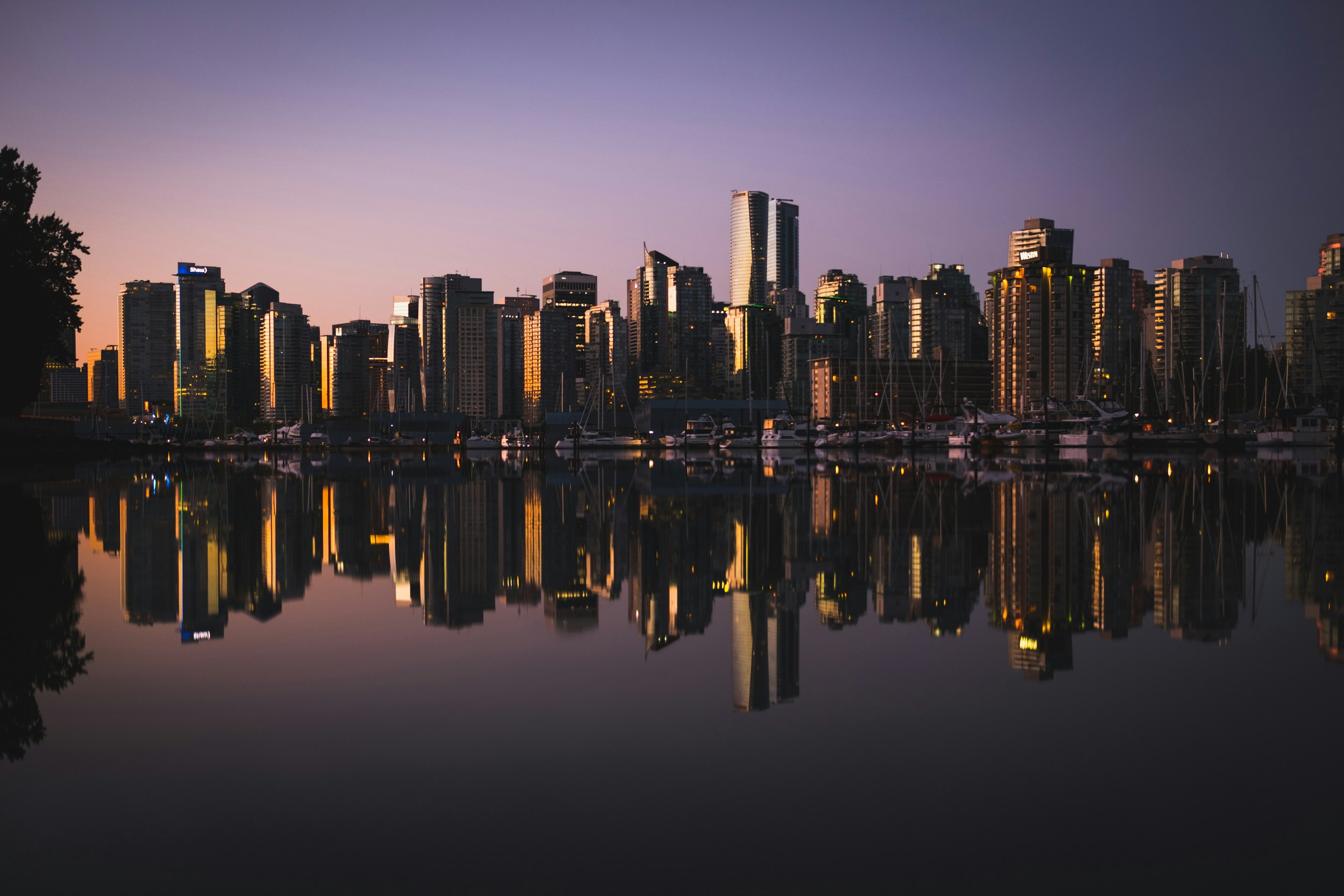
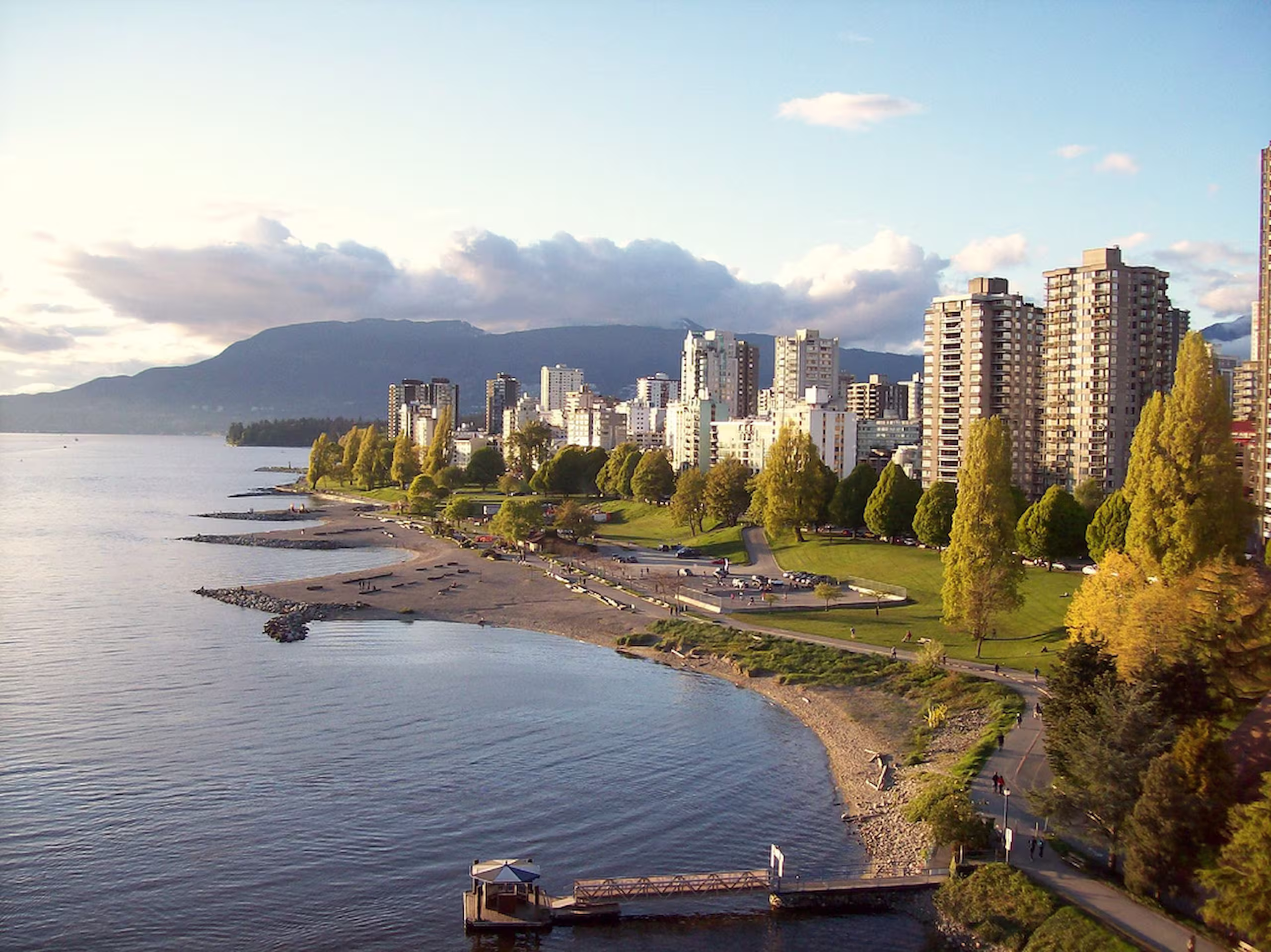
Vancouver's Neighbourhoods
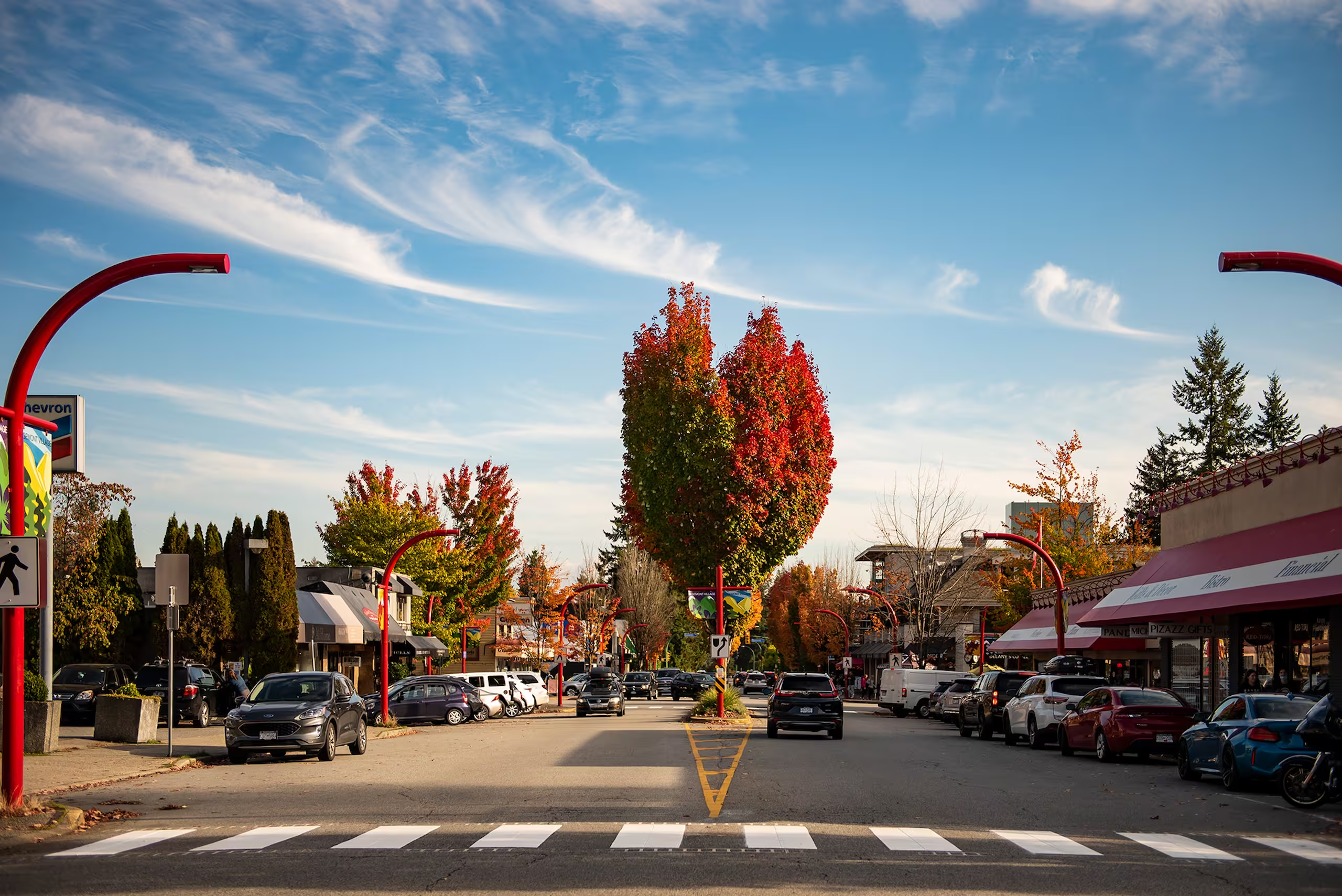
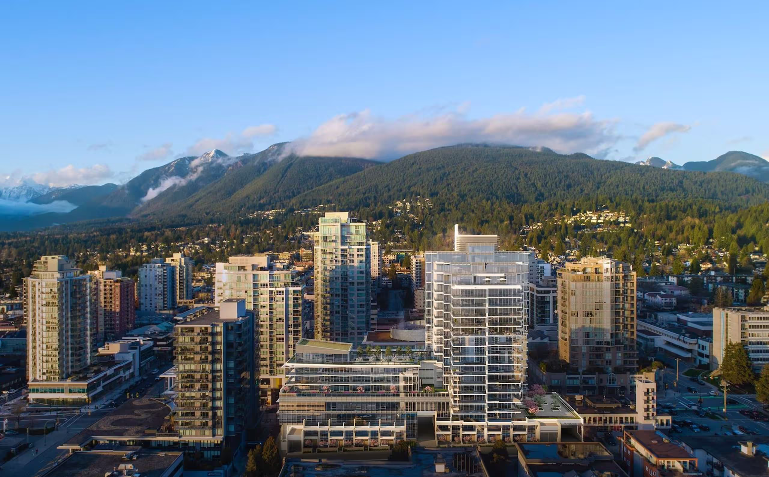
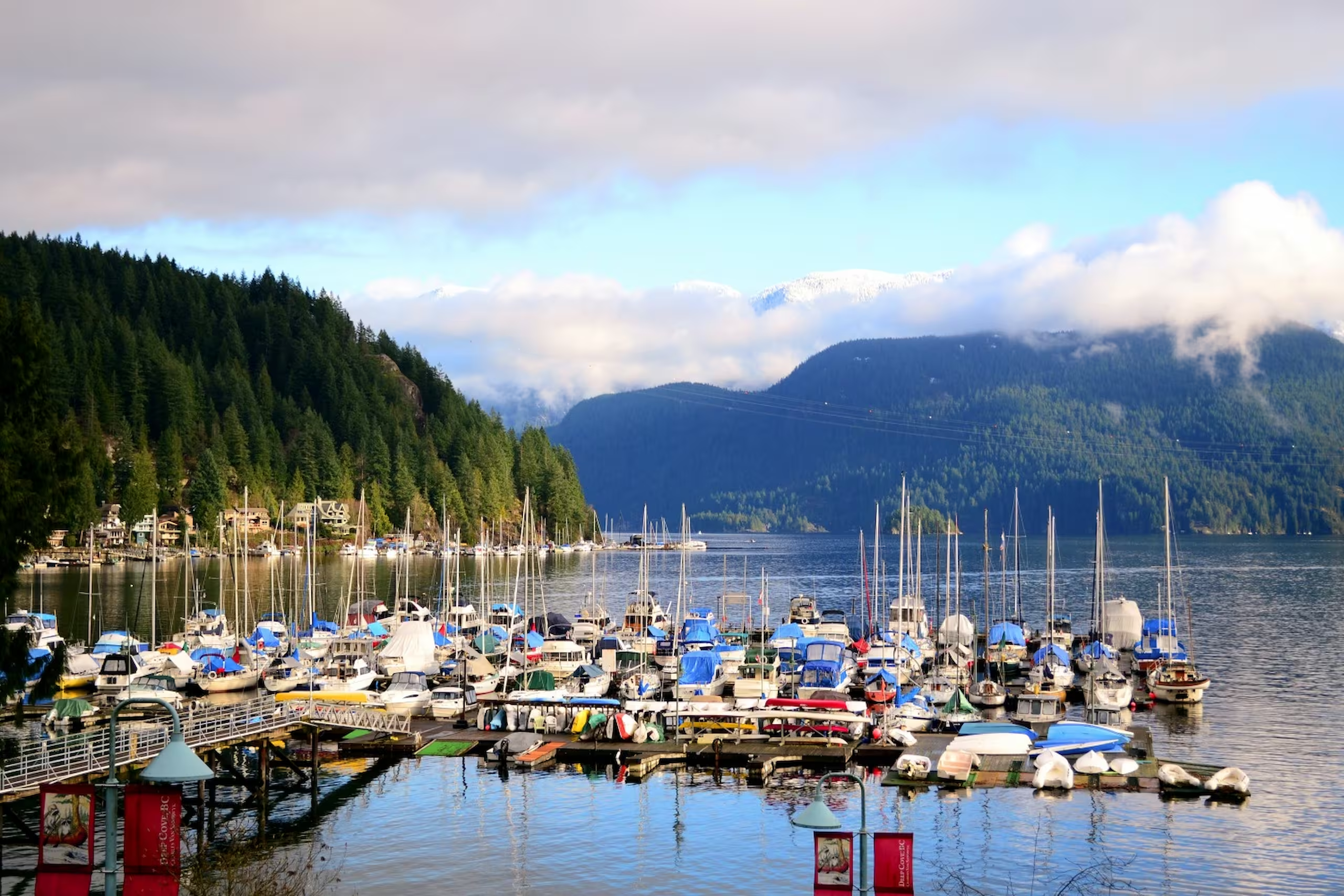
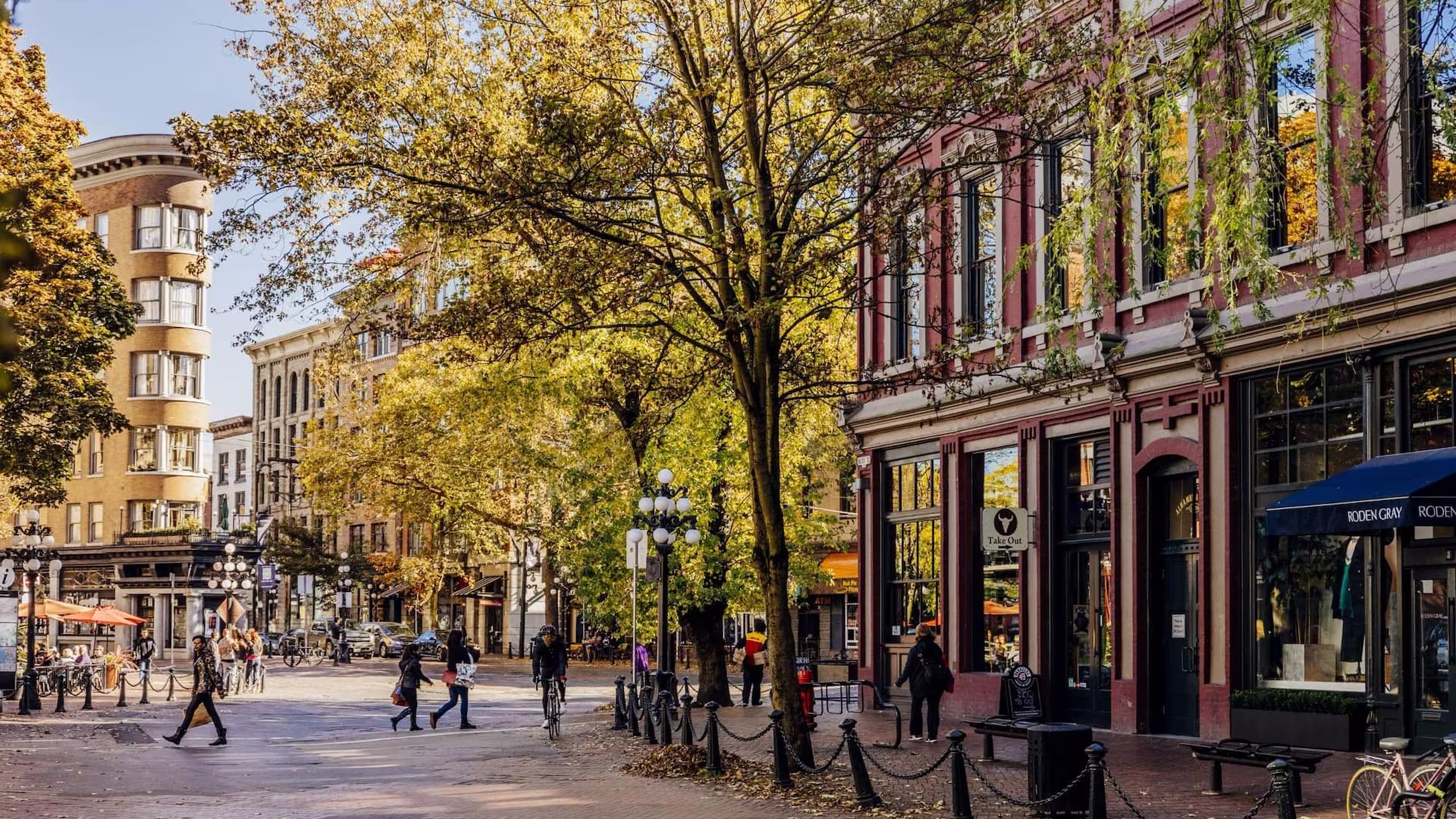
From the vibrant streets of East Van to the scenic shores of the North Shore, dive deep into the communities shaping Metro Vancouver. Each guide includes essential local insights, detailed housing information, up-to-date pricing trends, and lifestyle highlights — helping you make informed decisions neighbourhood by neighbourhood.


Explore Vancouver Neighbourhoods with Purpose
From East Van to the North Shore, get to know the communities that shape Metro Vancouver. Each guide includes local insights, housing types, pricing context, and lifestyle details—so you can make smarter decisions, block by block.

FAQs
Get answers to common questions about real estate investments and their processes.
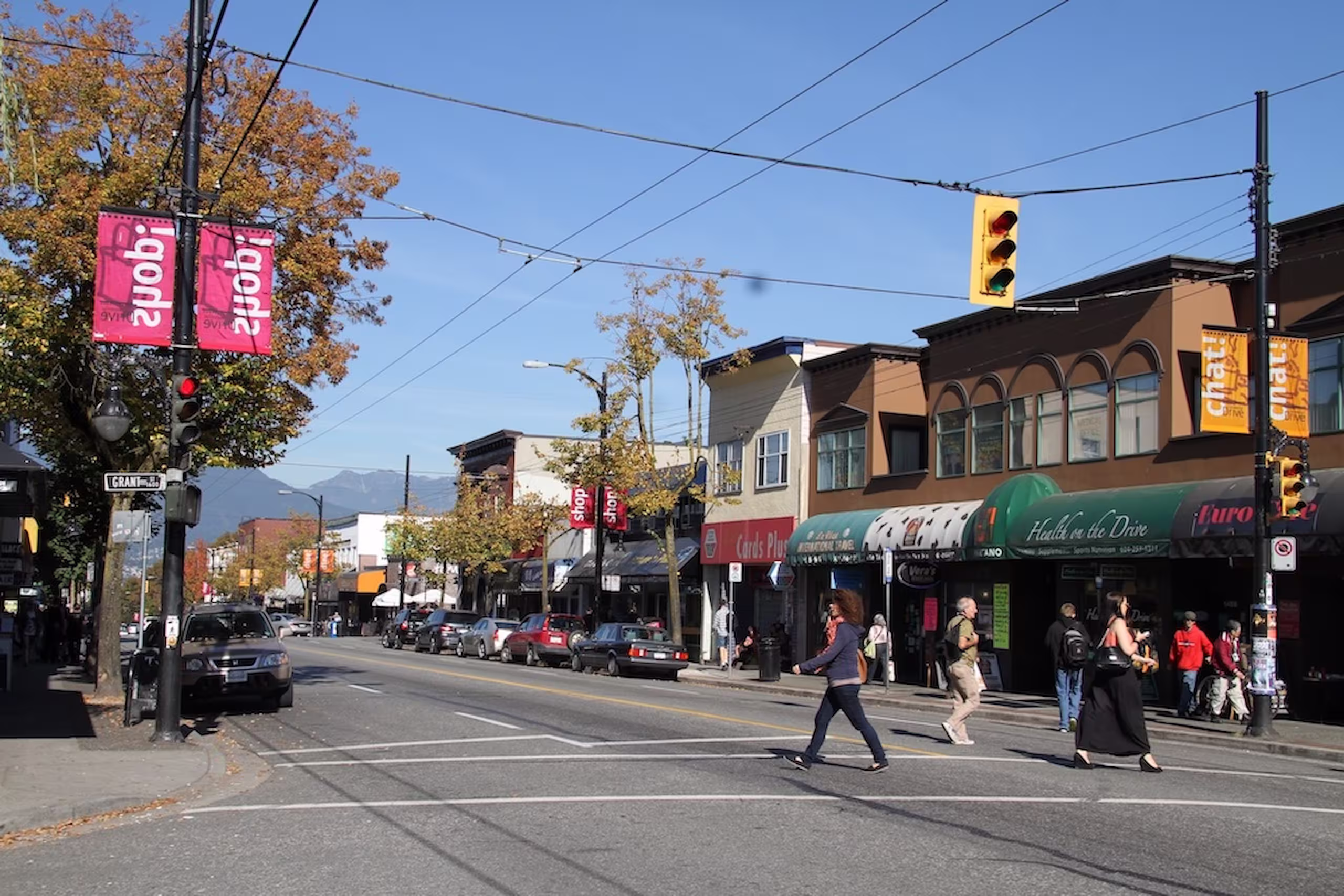
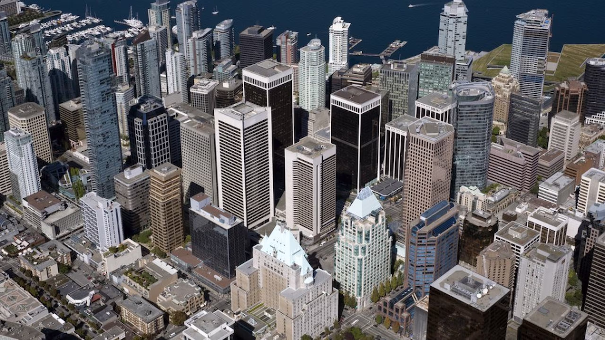
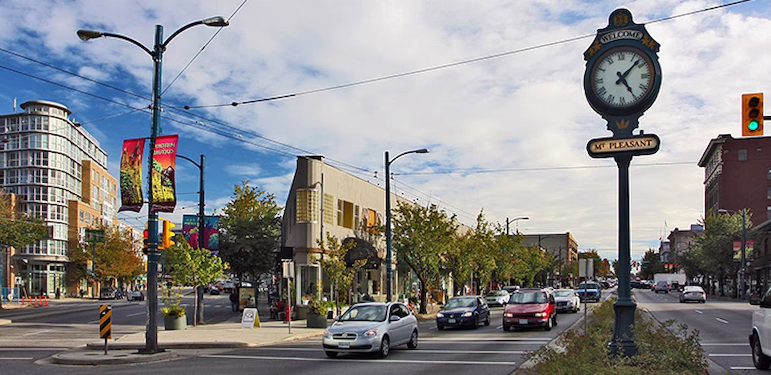
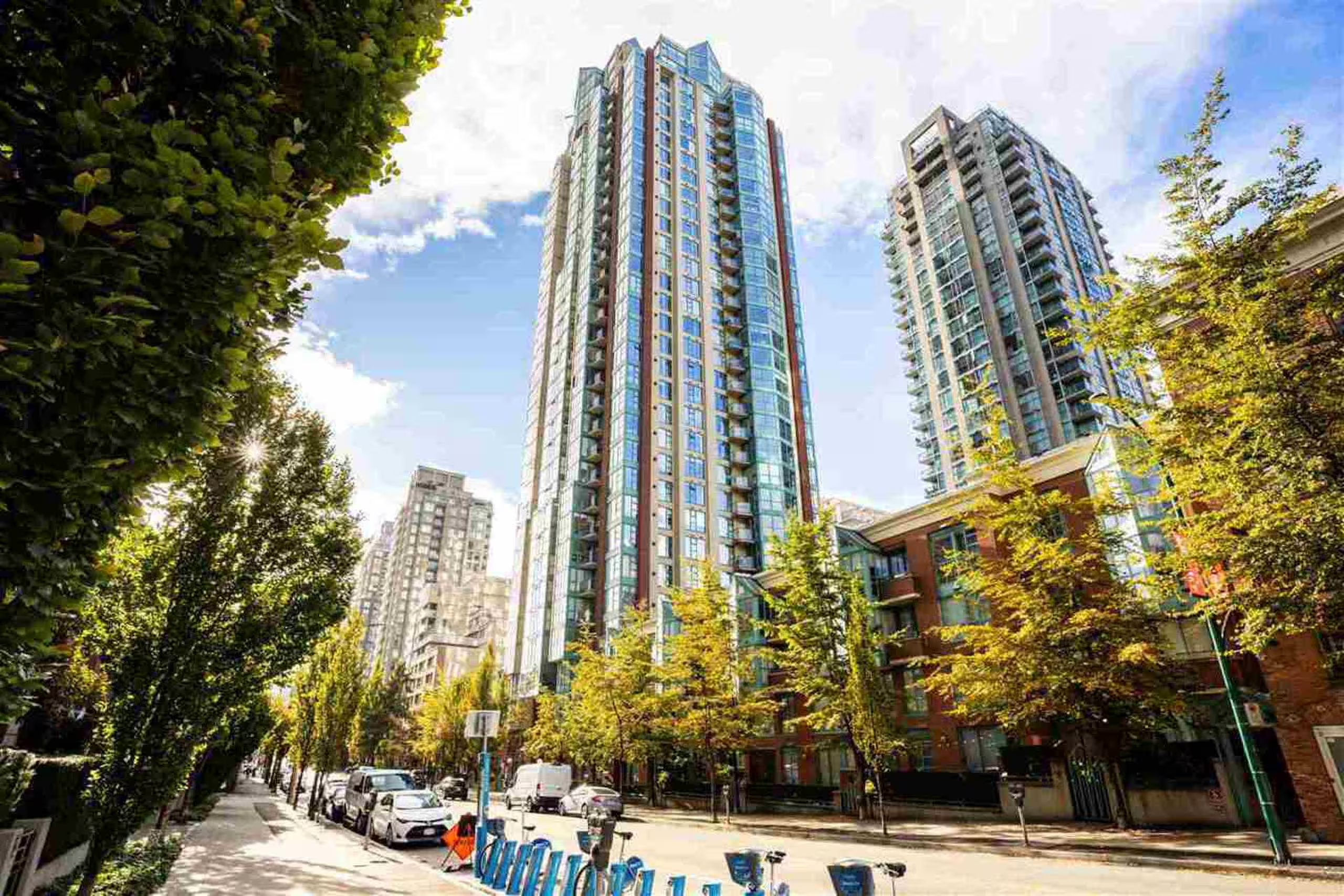
Downtown, Yaletown, Mount Pleasant, and Commercial Drive score 90 + Walk Scores and sit on SkyTrain/B-Line routes.
Yes, the Broadway Plan (West 8th–16th) and North Shore’s Moodyville rezoning will add mid-rise density and new amenities through the 2030s.
Absolutely, buyers pay premiums for top school zones. Verify any address on the VSB catchment map before writing an offer.
The Vancouver Police Department’s online crime map lets you check incident rates by neighbourhood and compare year-over-year trends.
Historically, neighbourhoods getting new rapid-transit stations—Oakridge, Cambie Corridor, Surrey’s Fleetwood—outperform city averages post-opening.
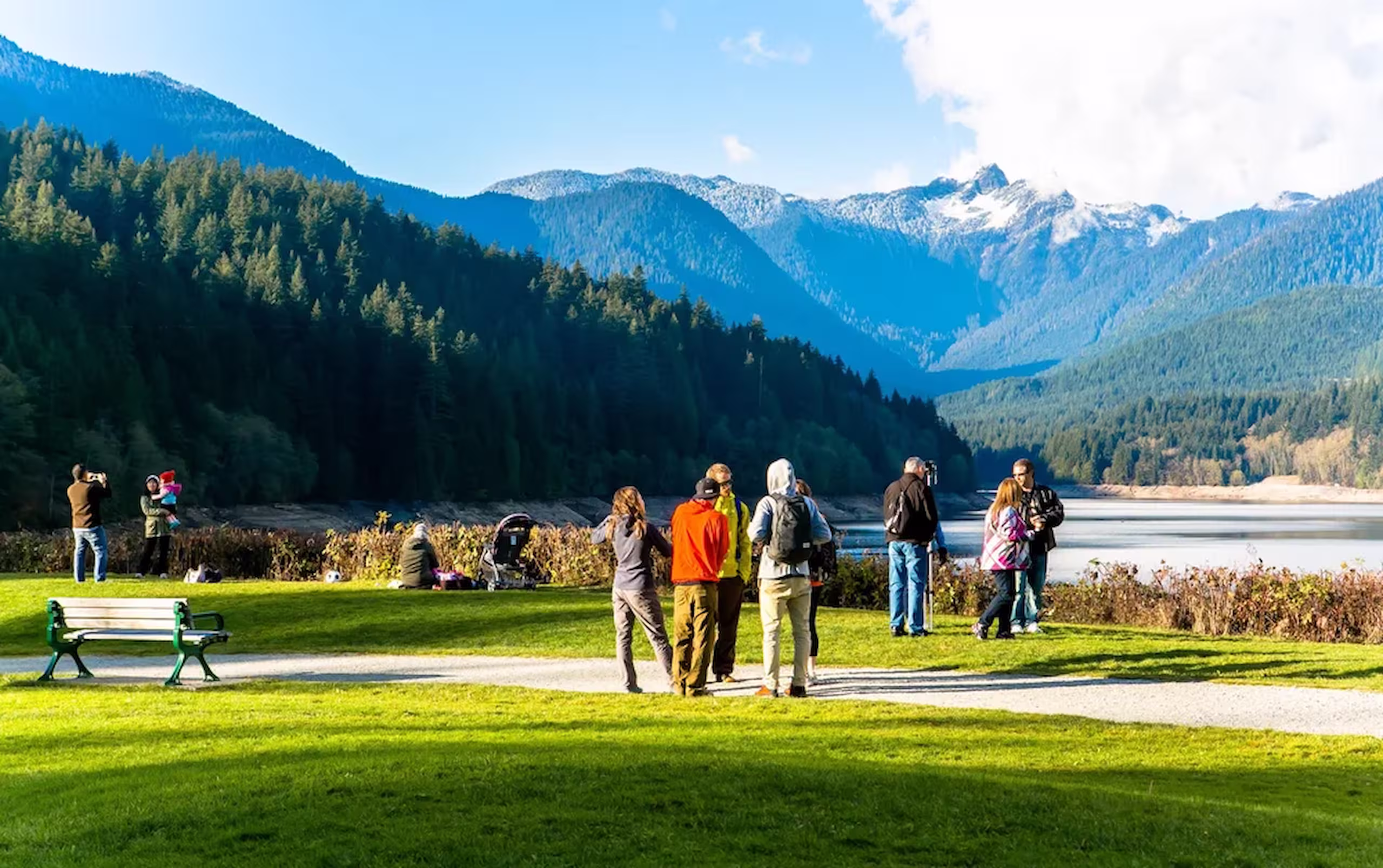
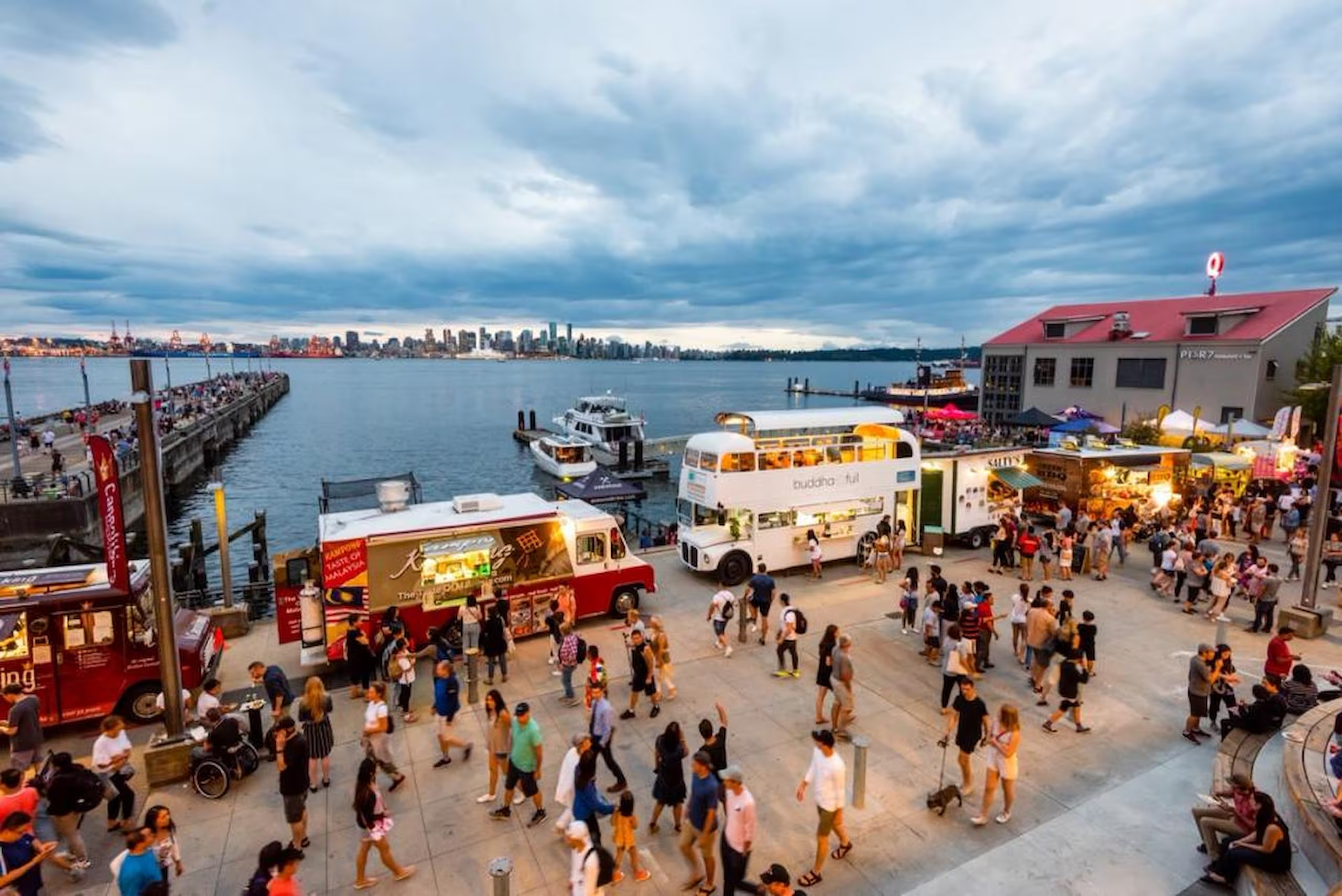
Typical peak times: Lynn Valley ≈ 30 min via SeaBus; Metrotown 14-18 min on Expo Line; Port Moody 25-30 min on Evergreen Line.
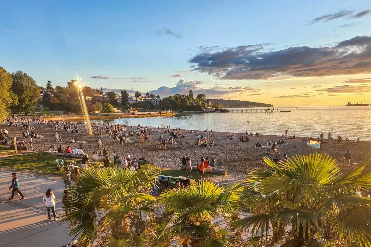
Kitsilano offers beaches and Greek Day; Commercial Drive hosts Italian Day; Lower Lonsdale features Shipyards Night Market—each guide lists parks, restaurants, and events.
Ready to Make a Move?
Schedule your personalized strategy call today and unlock your real estate potential with expert guidance.